
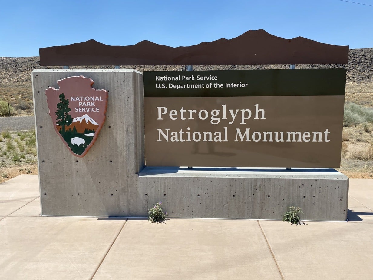
The Petroglyphs National Monument presents a unique environment where one can explore the past of the Pueblo peoples and enjoy a great hike in the process. The sites are broken into three separate trails. Each of them shows different petroglyphs and varies in size and type. Some can be seen up close and others require a keen eye. These glyphs are the product of people from thousands to hundreds of years ago understanding that removing the thin top layer of volcanic rock will leave a white presence against a black distinct background.
Top hiking trails in Albuquerque
Some of the best Alburquerque hiking trails are within this area of petroglyphs and make up the Petroglyph National Monument and trail system. These trails are short and fairly easy to complete, and the time of year is what will determine how far you can hike, and what you can do in the hotter times of the year.

Table of contents
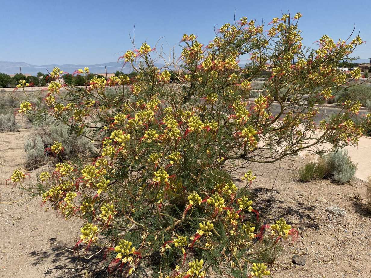
At certain times of the year, the bushes and cactuses bloom with bright colors of yellow, purple, and other enjoyable colors. The visitor center is a good spot to notice the plants of this area, but in a pristine environment where water is plentiful.
Each trail location is detailed with questions people might ask and the GPS coordinates to each location.
The Petroglyph Trails
Boca Negra Canyon Petroglyphs
GPS Lat: 35.161 GPS Long: -106.719
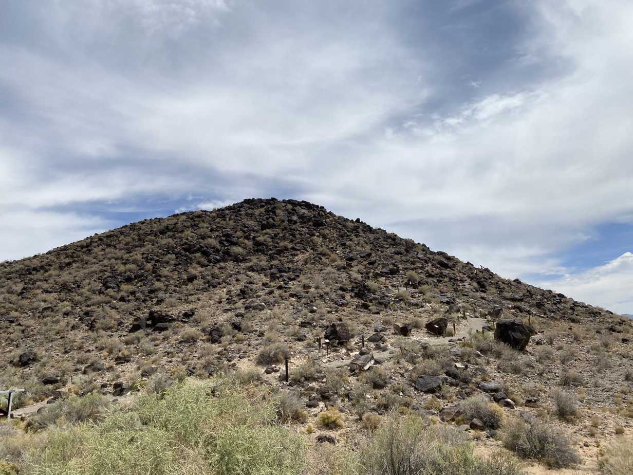
Some FAQ (Frequently Asked Questions) hikers and visitors to this area ask.
Common questions about the trail:
What time does the Boca Negra Canyon trail open?
The trail opens at 08:30 am and closes at 4:30 pm daily.
How many petroglyphs can I see on the Boca Negra Canyon trail?
You can see up to 100 petroglyphs.
How long is the Boca Negra canyon trail?
Short walks of about 1/2 mile for a total time of 1 hour in duration.
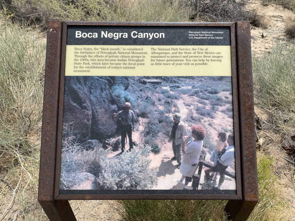
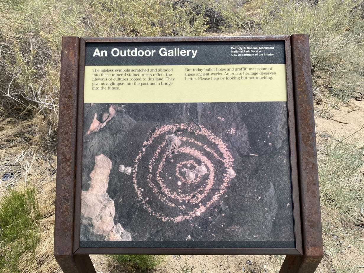
The black mountain is basically a small hill with a large number of petroglyphs around it all the way to the top. This particular trail is well maintained and easy to get to from the main road. There are times when the trail is just large rocks that you must climb over or go around. To complete this trail you follow the signs and make sure to veer right in order to take the longer route that will allow you to see a petroglyph or two up close.
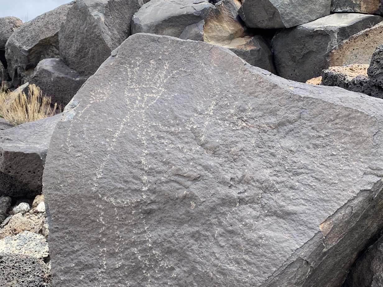
The glyph here seems to represent more of the life of the Pueblo peoples and less of the agriculture aspects that were critical to their survival. Ancestral worship was not uncommon and this image could represent anyone past or present from the time it was completed.
Rinconada Canyon Petroglyphs
GPS Lat: 35.127 GPS Long: -106.725
[embedyt] https://www.youtube.com/watch?v=3yTDCpcRfwE[/embedyt]Common questions about the trail:
What are the hours of operation for the Rinconada Canyon trail?
Rinconada Canyon Parking Lot Hours: 8:00 am to 5:00 pm daily.
Are pets allowed on this trail?
Leashed dogs/pets are not allowed on the petroglyph viewing section of this trail.
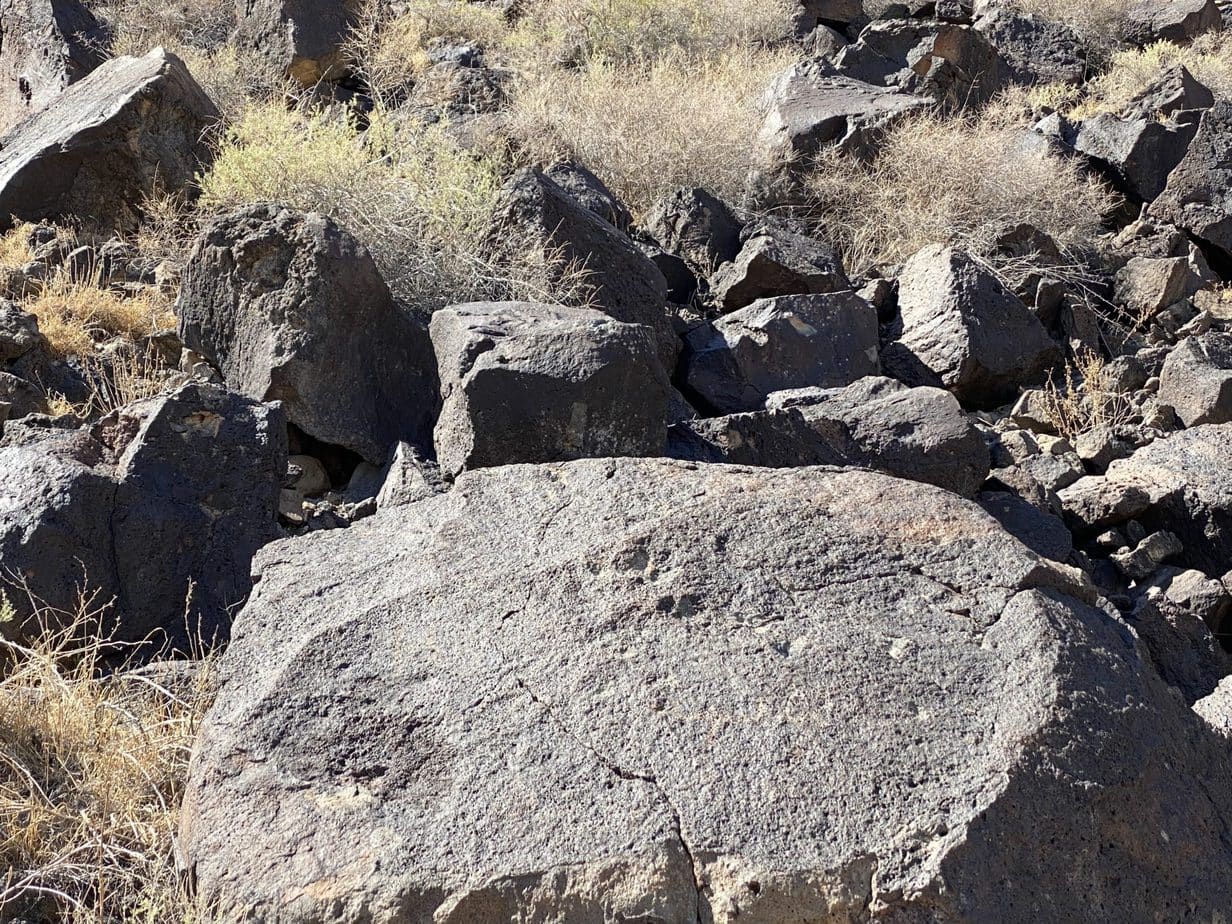
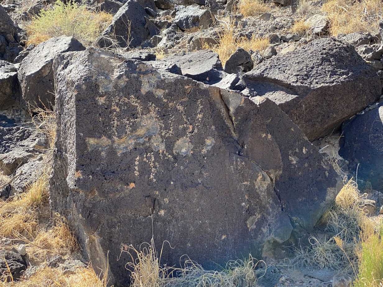
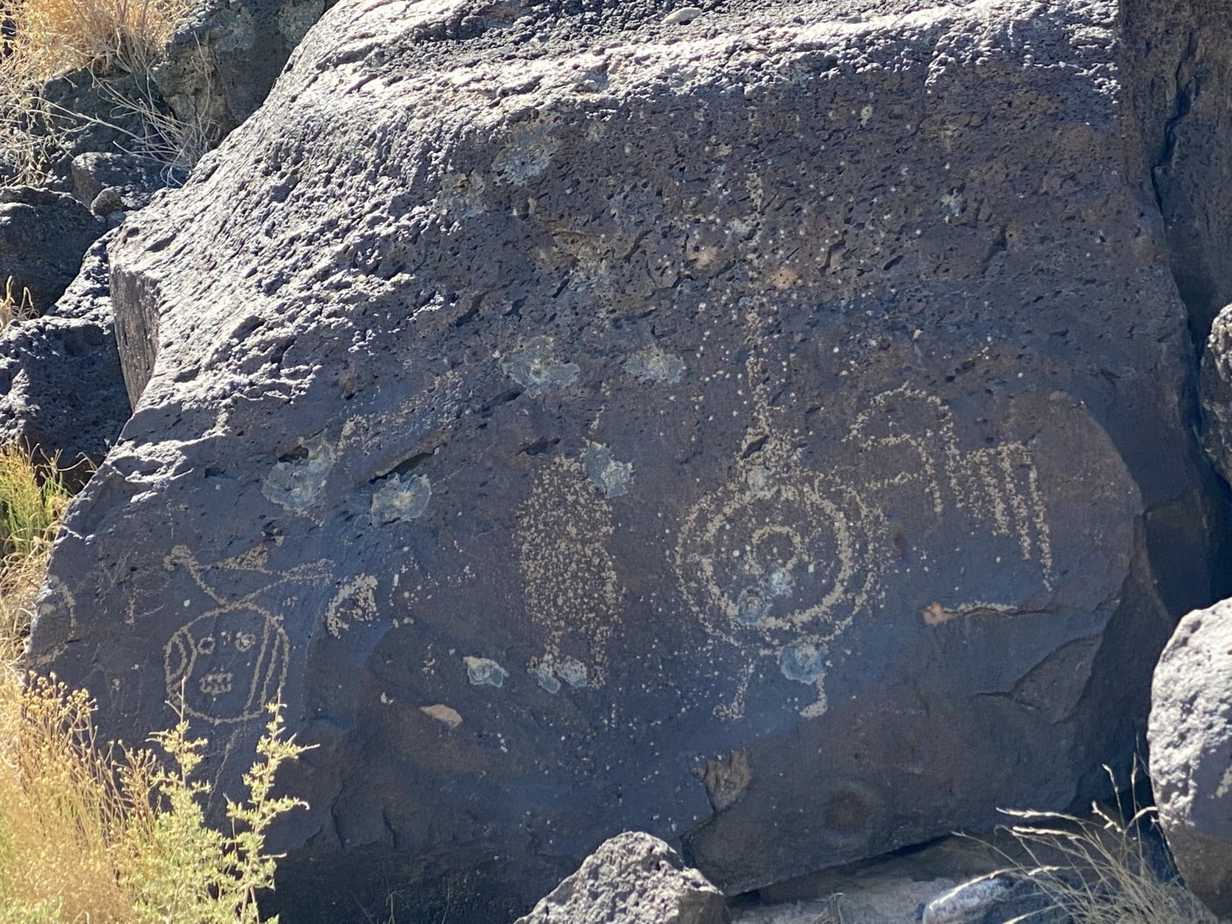
This second trail is within distance and has ease of access, and is within the open desert surrounding a much shorter but wider hill complex. The trail is very sandy, and the conditions are similar to the hot open desert that has preserved these petroglyphs for hundreds and maybe in some cases thousands of years. I found the grazing animals to be the most interesting. This would allude to the pueblo people grazing animals, and having a more sophisticated agriculture lifestyle.
Piedras Marcadas Canyon
GPS Lat: 35.1887 GPS Long: -106.6856
[embedyt] https://www.youtube.com/watch?v=fi8ZJUYcNdw[/embedyt]Common questions about the trail:
What are the hours of access to the Piedras Marcadas Canyon trail?
Open daily sunrise to sunset.
The parking area is well kept and has no gate that closes. So if for some reason you run late your car will hopefully still be there and not locked inside until morning.
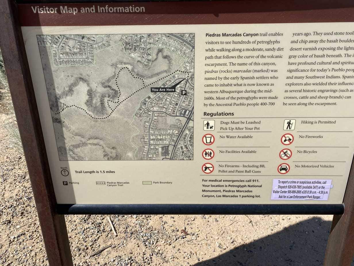
This map shows the simple trail with four different locations where larger groups of petroglyphs are present or ones that are easy to see. I have included a few here to give you an idea of what to expect.
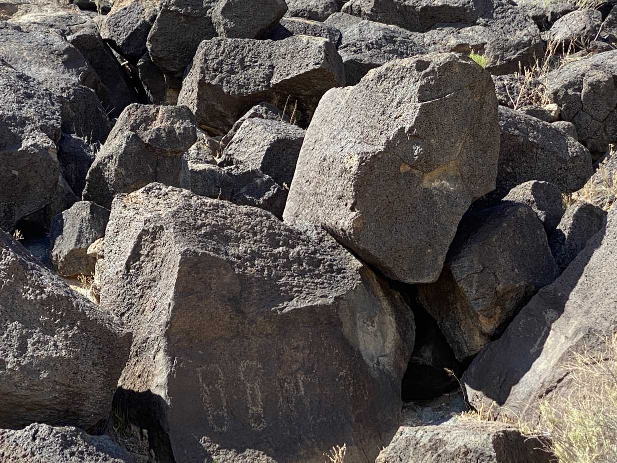
Here are some petroglyphs along the trail showing what I think are people, and an animal. Keep in mind that some of these can go from hundreds to a few thousand showing animals that no longer exist.
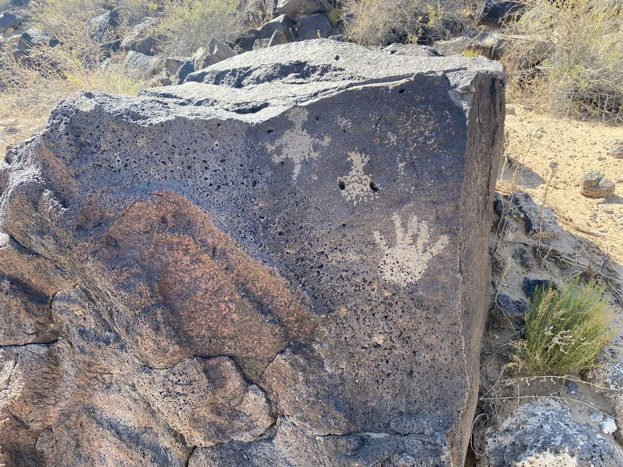
Throughout time we see the hand being used as the universal symbol of \”Hi I was here\”. We also see what I think might be a horned toad lizard.
Petroglyphs National Monument Trail System Feedback
As you can see from all three of these trails that make up the Petroglyph National Monument they are a part of the Albuquerque national parks system that surrounds the area. All of these are day hikes that allow you to go back to your hotel room and rest before being back in the morning for several more hikes. Each petroglyph is a symbol of the people who once lived here, and a form of communication to people of the future. Their ancestors would also be something they would have wanted to exalt in some form, and this chipping away of the top black layer of volcanic rock.
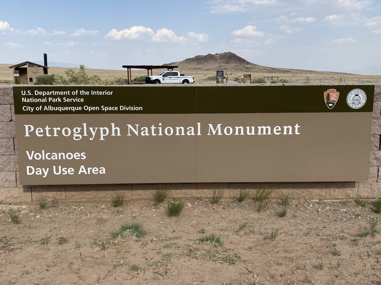
Petroglyph National Monument
Volcanoes Day Use Area
GPS Lat: 35.1306 GPS Long: -106.7803
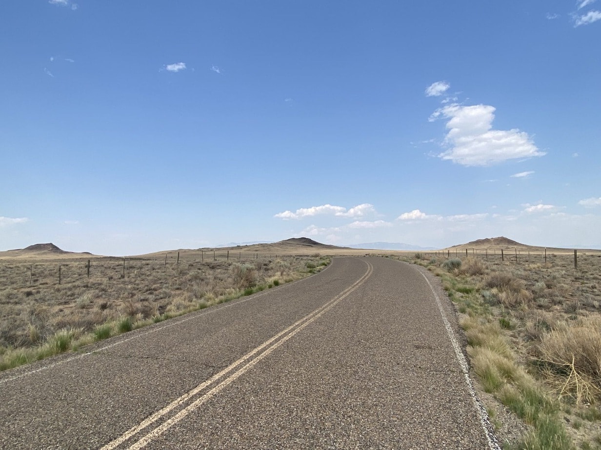
These trails show the unique geography and geological remnants of these extinct volcanoes. These trails are on the short side and several can be done in a day. Keep the time of day in mind and plan your clothing, hiking gear, and water, food snacks, and sunscreen.
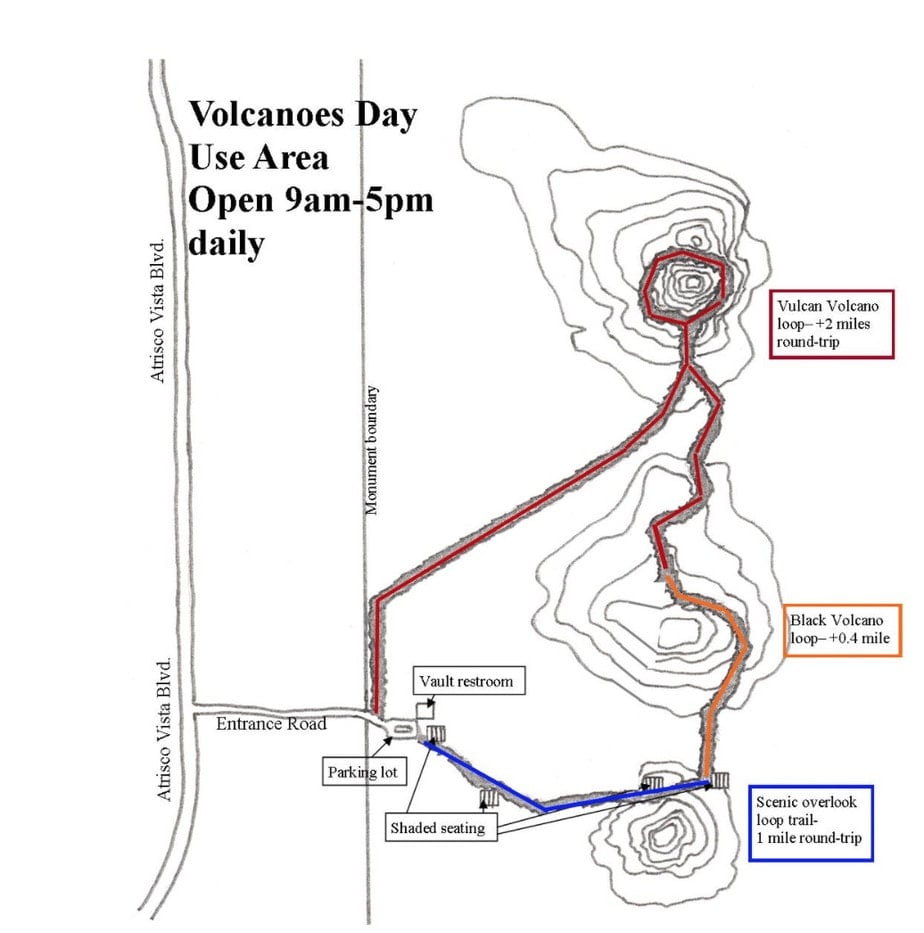
Map of the Volcano Trails
Common questions about the trails:
Map of the trails at the Volcanoes Day Use Area.
What are the hours of access?
Parking lot hours are 9:00 a.m. to 5:00 p.m. daily.
Can I enter the park after hours?
Yes before or after-hours access is permitted by parking outside of the gated parking lot.
Can we bring pets into the par?
Leashed pets/dogs are allowed. A maximum leash length of 6 feet is strictly enforced. Owners must pick up all dog waste and carry it out to a trash can.
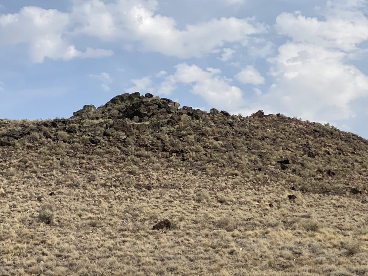
Volcanoes Trail
How far is the Volcanoes trail?
Distance: About 3 1/2 miles round trip loop from the parking lot to the JA Volcano and around the Vulcan Volcano back to the parking lot.
Difficulty: easy to moderate

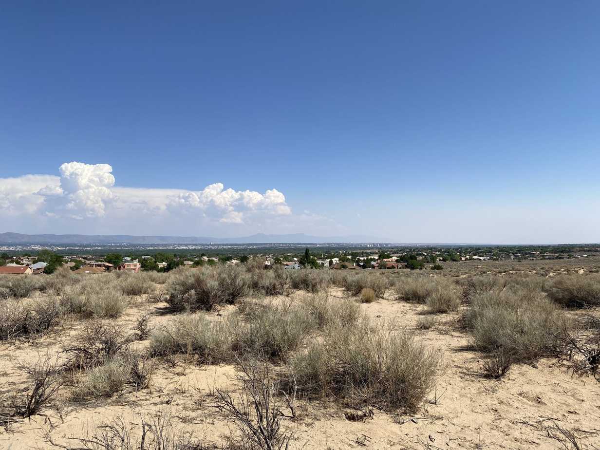
The entire trail starts at the parking lot and goes past the JA Volcano to the scenic overlook, up to the Vulcan Volcano, and back to the parking lot, with sweeping views of Albuquerque and the Rio Grande Valley throughout.
JA Volcano and the Albuquerque Overlook

How far is the JA Volcano and Albuquerque Overlook trail?
Distance: 1 mile round trip from the parking lot to scenic overlook and back.
Difficulty: easy
This sub-section of the trail departs from the parking lot and heads east to a scenic view of the Rio Grande Valley, Albuquerque, and the Sandia Mountains. You will have to turn around the way you came back to the parking lot to complete it. This trail has two shaded rest areas with benches.
Vulcan Volcano Loop
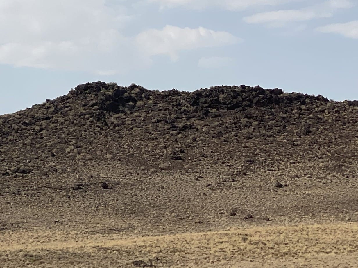
How long is the Vulcan Volcano Loop hike?
Distance: 2 miles from the north side of the parking lot around Vulcan Volcano and back.
Difficulty: moderate
The entire trail starts at the parking lot and goes past the JA Volcano to the scenic overlook, up to the Vulcan Volcano, and back to the parking lot, with sweeping views of Albuquerque and the Rio Grande Valley throughout.
JA Volcano and the Albuquerque Overlook
How long are the JA Volcano and the Albuquerque Overlook hike?
Distance: 1 mile round trip from the parking lot to scenic overlook and back.
Difficulty: easy
This sub-section of the trail departs from the parking lot and heads east to a scenic view of the Rio Grande Valley, Albuquerque, and the Sandia Mountains. You will have to turn around the way you came back to the parking lot to complete it. This trail has two shaded rest areas with benches.
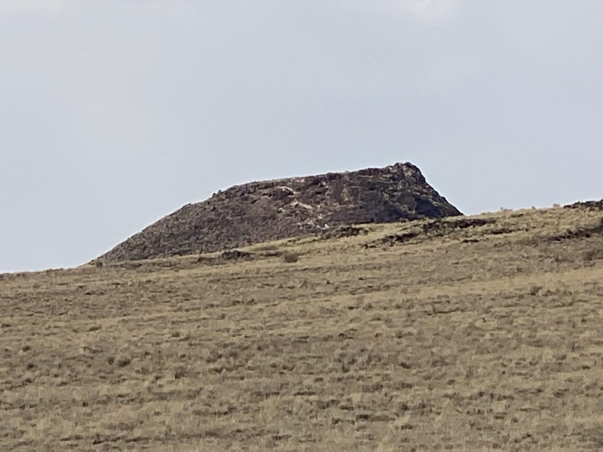
This sub-section of the trail can be found by going to the north side of the main parking lot near the gate. The trail along the eastern base of Vulcan is difficult to find but do not give up. A gradual incline up the east side of Vulcan leads to a level, mini-volcanic valley on Vulcan’s north side. Continue on the trail and go left (south) when you approach the ‘Y’ on the northwest side of Vulcan. At next ‘Y’ go left again for an up-close look at this well-preserved cinder cone. Follow the trail down, continuing south on the old road which leads back to the parking lot.
Explore Albuquerque's Petroglyph National Monument Trails
If you would like to learn more about this great national monument and what the National Park Service is doing to study and maintain the sites consider visiting their website here. National Park Service Website The Albuquerque area is home to many areas the adventure travel enthusiast would enjoy no matter what the time of year. Next, you are in this area of New Mexico United States consider these day hikes and some of the suggestions for the area below.
Are you interested in other areas surrounding Albuquerque New Mexico, and having a continuous hiking adventure. If so then please continue to read the FAQs below and visit some of our other New Mexico trips such as our new article on the Bandelier National Monument.
16 Top Travel Places in New Mexico to Plan a Backpacking Trip
The Treasures Of Southern New Mexico
Uncovering The History Of Lincoln: A Look At Some Popular Spots
Where can I hike around Albuquerque?
There are several places and the Petroglyph National Monument has several short day hikes. The Elena Gallegos Picnic Area offers great trails that connect to the National forest. See video here https://youtu.be/85vbdy9CQ_M
Is Albuquerque good for hiking?
Yes, and depending on the time of year you can hike in the mornings or during the day when others are snowed in.
What’s the name of the mountains in Albuquerque?
The Sandia Mountains.
Are there mountains in Albuquerque?
The Sandia Mountains provide great hiking and photography opportunities.
How many hikes are in Albuquerque?
We have been on ten separate hikes around the Albuquerque area. From mountains to the desert viewing petroglyphs. See some of these hikes here ExploreTraveler.com
Can you drive to the top of Sandia Peak?
No, but you can get very close hiking by starting in The Elena Gallegos Picnic Area offers great trails that connect to the National forest. See the video here https://youtu.be/85vbdy9CQ_M Also consider taking the tram to the top of the ski area where you can also get very close.